![]()
![]()
![]()
![]()
![]()
![]()
![]()
![]()
![]()
![]()
![]()
![]()
![]()
![]()
![]()
![]()
| Click “Reload” (or “Refresh”), while holding down the Shift key, to be sure that you get the latest image. |
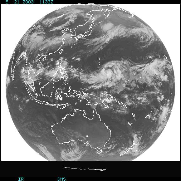 |
| This is the most recent view available from the Geostationary Meteorological Satellite (GMS), showing the Earth as it appears in infrared wavelengths. Australia is located in the lower third of this view; southeast Asia is at the upper left. |
| Data provided by the the National Space Development Agency of Japan (NASDA), Geostationary Meteorological Satellite (GMS) and processed by the National Oceanic and Atmospheric Administration (NOAA). |