![]()
![]()
![]()
![]()
![]()
![]()
![]()
![]()
![]()
![]()
![]()
![]()
![]()
![]()
![]()
![]()
| Click “Reload” (or “Refresh”), while holding down the Shift key, to be sure that you get the latest image. |
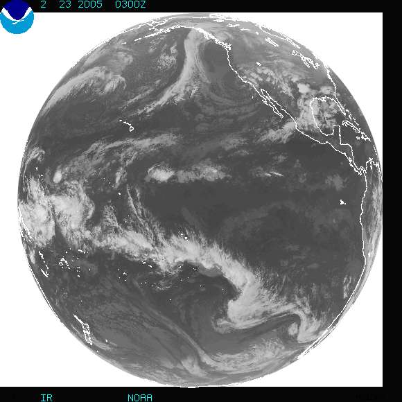 |
| This is the most recent available view of the Earth received from the western Geostationary Operational Environmental Satellite (GOES), photographed in infrared radiation. The northern edge of South America lies at the right center in this view; North America appears in the upper third of the image. |