![]()
![]()
![]()
![]()
![]()
![]()
![]()
![]()
![]()
![]()
![]()
![]()
![]()
![]()
![]()
![]()
| Click “Reload” (or “Refresh”), while holding down the Shift key, to be sure that you get the latest image. |
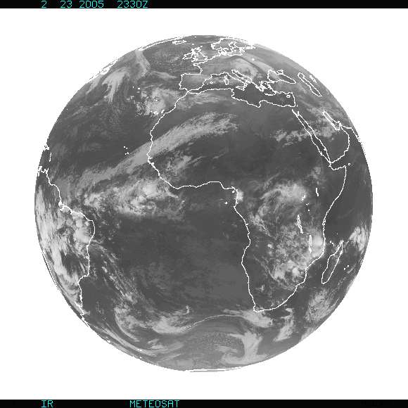 |
| This is the most recent view of the Earth received from the Meteosat satellite, photographed in infrared radiation. Africa occupies much of the right half of this view; Europe is near the top, and South America is at the left edge of the photo. |
| Data provided by Europe's Meteorological Satellite Organization (EUMETSAT) and processed by the National Oceanic and Atmospheric Administration (NOAA). |